The River Trent Watershed: A Journey from Source to Sea

The River Trent is one of the most significant waterways in England, flowing for 185 miles and serving as the third-longest river in the UK. Its watershed, covering an area of around 4,000 square miles, spans much of the Midlands, stretching across a diverse landscape of hills, valleys, towns, cities, and farmlands. The Trent's path is shaped by the geology of the region, with its tributaries, lakes, wetlands, and floodplains providing vital ecosystems for wildlife, while also playing an essential role in the economic and industrial history of England.
In this article, we will take an in-depth look at the River Trent watershed, exploring its sources, tributaries, and landscapes, while also tracing its historical significance in the development of towns and industries that line its banks. We will follow the river from its sources in Staffordshire to its final destination at the Humber Estuary, where it merges with the North Sea.
Sources of the River Trent: Staffordshire Hills and Beyond
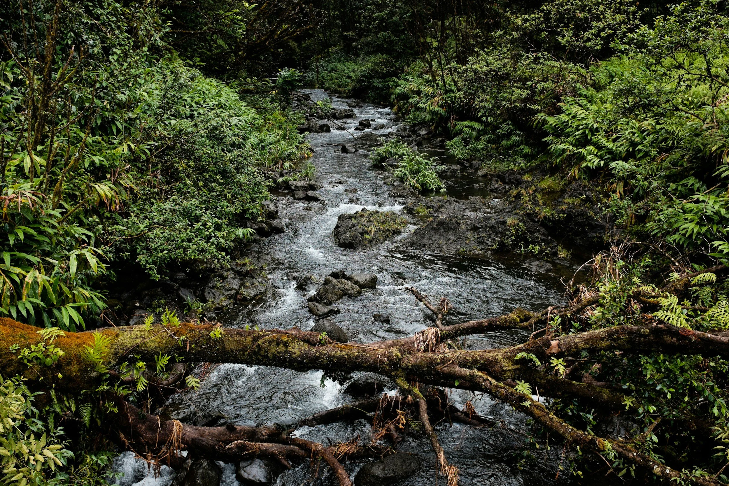
The exact source of the River Trent is a subject of debate, as several small streams and springs converge to form the river. The most commonly cited source is located on the slopes of Biddulph Moor in Staffordshire, near the village of Biddulph. This spring, which emerges from the Bunter Sandstone rock formation, is generally recognized as the official starting point of the Trent. From here, it flows through the Staffordshire Moorlands, gaining strength as it is joined by other streams and tributaries.
Another important source area is the hills around Mow Cop, a few miles southwest of Biddulph. This region, characterized by its steep, rugged terrain, provides additional water to the Trent through a series of brooks and streams that run down the hillsides. These early stages of the Trent are modest in size, meandering through the green valleys of Staffordshire before making their way towards the flatter lands of the Midlands.
Tributaries and Streams: Feeding the Trent
As the Trent progresses through its watershed, it is fed by a network of tributaries that significantly increase its size and flow. One of the most important of these is the River Tame, which joins the Trent near Alrewas in Staffordshire. The Tame, which originates in the West Midlands, is itself a major river, draining the densely populated areas of Birmingham and the Black Country. The Tame's contribution to the Trent is substantial, providing much of the river's flow during the dry summer months.
Another key tributary is the River Dove, which merges with the Trent near the village of Newton Solney in Derbyshire. The Dove originates in the Peak District, flowing through picturesque landscapes and supporting a number of towns along its banks. Known for its clear waters and fly fishing, the Dove’s contribution helps balance the Trent’s flow, especially during periods of low rainfall.
Further downstream, the River Derwent joins the Trent at Shardlow, just east of Derby. The Derwent is one of the longest tributaries of the Trent and is vital to the region’s water system. The Derwent has its source high in the Pennine Hills, in the northern Peak District, and passes through several reservoirs, such as Ladybower Reservoir, which provide drinking water for the surrounding areas. Its confluence with the Trent significantly increases the river’s volume.
Other tributaries that feed the Trent include the Soar, which flows through Leicestershire, and the Erewash, which drains parts of Derbyshire and Nottinghamshire. Together, these rivers create a vast, interconnected system that provides water to millions of people and supports diverse ecosystems.
Lakes, Floodplains, and Waterfalls Along the Trent
While the River Trent is not typically associated with waterfalls, its course does feature several significant water bodies and flood zones that are crucial to the region's hydrology and wildlife.
One of the notable areas along the Trent’s course is Cannock Chase, a region of heathland and woodland in Staffordshire that features several small lakes and reservoirs. While the Chase lies to the west of the Trent’s main course, the area’s waterways feed into tributaries that eventually join the Trent, contributing to its overall watershed.
As the Trent flows through the Midlands, it crosses several floodplains, including the wide floodplain that extends across Nottinghamshire and Lincolnshire. This low-lying area is particularly prone to flooding, especially during periods of heavy rainfall, when the Trent can burst its banks. The Attenborough Nature Reserve, located just southwest of Nottingham, is a prime example of a landscape shaped by the river’s flooding tendencies. The reserve features several lakes and wetlands that were formed from former gravel pits, now reclaimed by nature and home to numerous bird species.
One of the most important flood management tools along the Trent is the Trent Washlands, an extensive floodplain that runs between Burton upon Trent and Nottingham. The Washlands are designed to hold excess water during floods, reducing the risk of damage to urban areas downstream. These wetlands are crucial for biodiversity, supporting plant and animal species adapted to the changing water levels.
The Role of the Trent in Industry and the Growth of Towns and Cities
The River Trent has played a central role in the development of towns, cities, and industry in the Midlands for centuries. In the medieval period, the river was used for transporting goods such as wool, coal, and timber, allowing the towns along its banks to flourish as trading hubs. The Trent became an essential artery for commerce, linking the Midlands to the Humber Estuary and, by extension, the North Sea.
One of the earliest industries to thrive along the Trent was brewing, particularly in the town of Burton upon Trent. By the 18th century, Burton had become the brewing capital of Britain, thanks in part to the high-quality water from the River Trent, which was rich in minerals such as calcium. These minerals were ideal for brewing pale ales, and Burton’s reputation for beer spread across the country and beyond. The Trent was used to transport barrels of beer downstream to the Humber and then onward to markets in London and abroad.
Another major industry that relied on the Trent was coal mining. The river passes through several historically important coalfields, including the Nottinghamshire and Derbyshire coalfields. The Trent was used to transport coal to industrial centers like Derby, Nottingham, and Stoke-on-Trent, and later, via the Humber, to export markets. The development of canals, such as the Trent and Mersey Canal (completed in 1777), further enhanced the river’s role as a transportation route for industrial goods, linking the Midlands with the ports of Liverpool and Hull.
The growth of industry along the Trent also contributed to the rise of towns such as Stoke-on-Trent, known for its pottery industry, and Nottingham, which became a major center for textiles, lace-making, and, later, pharmaceuticals. These towns, and others like Derby and Newark-on-Trent, grew in size and importance due to their proximity to the river, which provided a reliable means of transporting goods.
The Trent and Its Connection to the Humber Estuary
As the River Trent flows northeast, it passes through Newark-on-Trent, Gainsborough, and several smaller towns, continuing its journey through flat, agricultural lands. As the river approaches its lower reaches, it becomes tidal, influenced by the rise and fall of the sea as it nears the Humber Estuary.
The Trent converges with the River Ouse at a location known as Trent Falls, near the village of Faxfleet in East Yorkshire. Here, the two rivers merge to form the Humber Estuary, one of the largest estuaries in the UK. The Humber is an essential shipping route, connecting the inland waterways of the Midlands with the North Sea, and ultimately, global trade routes.
The Humber Estuary is a vast and dynamic body of water, with wide mudflats, saltmarshes, and extensive tidal zones that are home to a rich diversity of wildlife. It serves as a crucial habitat for migratory birds, fish, and other species that depend on the estuary’s unique conditions. The cities of Hull and Grimsby, located on either side of the Humber, grew as major ports, capitalizing on the river’s connection to the sea for fishing, trade, and shipbuilding.
Conclusion: The Trent’s Journey to the Sea
From its humble sources in the Staffordshire hills to its grand confluence with the Humber Estuary, the River Trent is a vital lifeline for the Midlands. It has shaped the landscape, nourished ecosystems, and supported industries that built the cities and towns of central England. The Trent’s role as a transportation route for goods, particularly during the Industrial Revolution, helped fuel Britain’s economic growth and expansion.
Today, the Trent remains an essential feature of the region, not only as a natural waterway but also as a cultural and historical symbol of the Midlands. Its watershed connects a diverse range of environments, from the upland streams of Staffordshire to the flat floodplains of Lincolnshire, and its journey through England’s heartland continues to shape the lives of those who live along its banks.
As it joins the Humber and flows into the North Sea, the Trent completes its long and varied journey, a river whose influence on the land and its people has been profound and enduring.