The Geological History of the United Kingdom: A Story of Deep Time

The United Kingdom, with its varied landscapes of rolling hills, rugged mountains, and wide rivers, is the result of a complex and dynamic geological history that spans billions of years. From the shifting of tectonic plates to the sculpting forces of glaciers, the UK’s geology has played a fundamental role in shaping its natural environment. Understanding this deep geological past not only reveals the processes that have formed the land but also provides insight into how these ancient forces continue to influence the modern landscape, including the River Trent watershed, a key feature of central England.
The Formation of Ancient Rocks: The Precambrian to the Cambrian
The oldest rocks in the UK date back over 3 billion years and are primarily found in Scotland, particularly in the northwest. These rocks, part of the Lewisian Gneiss Complex, formed during the Precambrian, a period when the Earth was a hot, young planet, and life was only just beginning to emerge. These ancient rocks are the result of intense heat and pressure, having been buried deep in the Earth’s crust and transformed through metamorphism.
As we move into the Cambrian period (around 540 million years ago), the UK was positioned near the equator and mostly underwater. This was a time of significant tectonic activity, as the supercontinent Gondwana began to break apart. The sediments that accumulated in shallow seas during this period were compressed into sandstone and shale, forming the foundations of the Cambrian rock layers visible today in areas such as Wales and parts of Scotland.
The Caledonian Orogeny: Mountain Building and Plate Tectonics
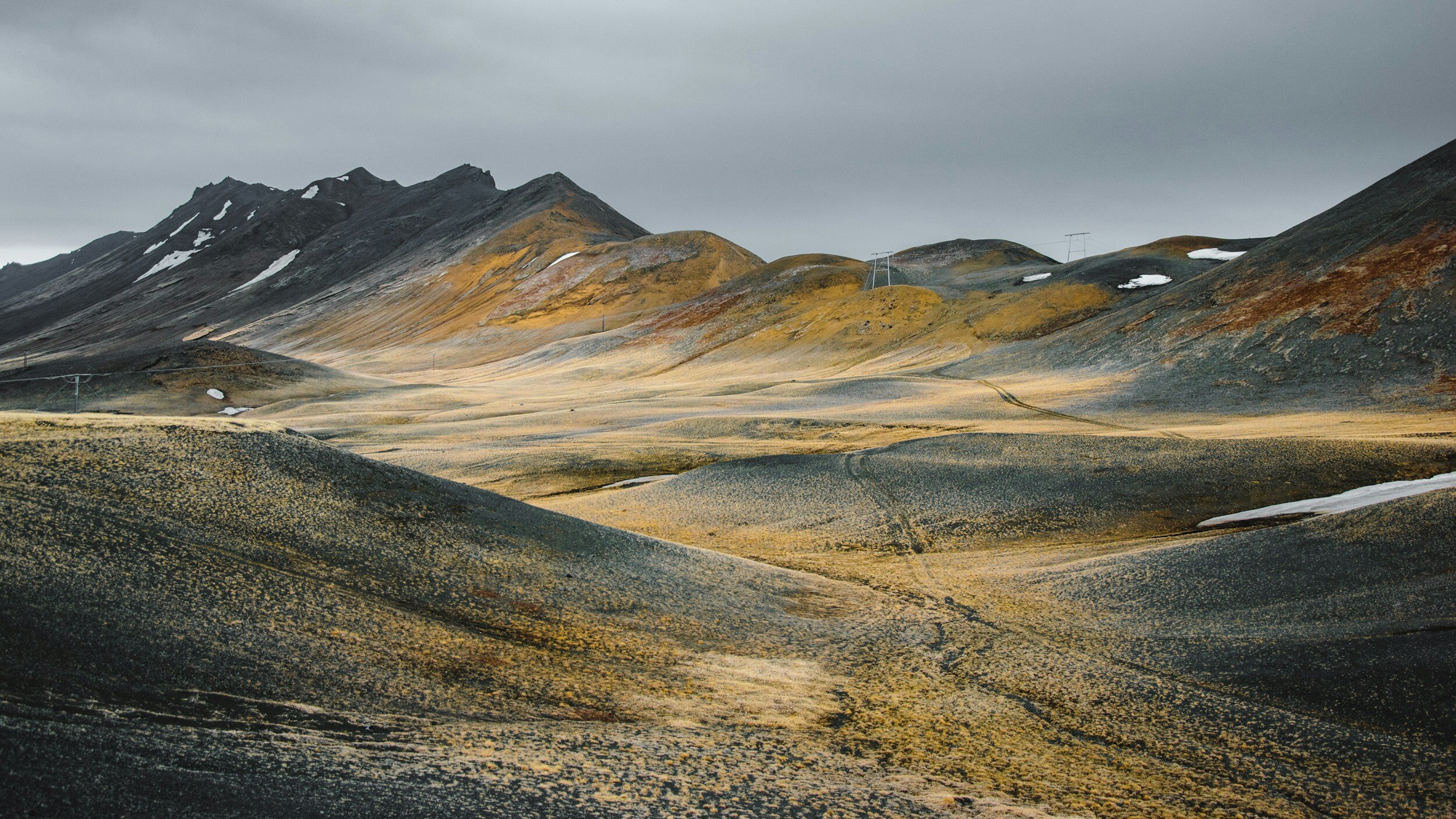
One of the most significant geological events in UK history occurred between 490 and 390 million years ago during the Caledonian Orogeny, a period of mountain-building caused by the collision of ancient landmasses. At this time, the smaller continent of Avalonia (which included parts of modern-day England and Wales) collided with Laurentia (which included what is now Scotland). This collision created the Caledonian mountain range, a precursor to today’s Scottish Highlands, which were once as high as the modern-day Himalayas.
This tectonic collision also led to the formation of the famous Highland Boundary Fault in Scotland, which marks the divide between the hard, ancient rocks of the Highlands and the softer, sedimentary rocks of the Lowlands. Over millions of years, these towering mountains have been heavily eroded, leaving behind the rugged landscapes of the Highlands and islands, including Ben Nevis, the UK’s highest peak.
The Devonian and Carboniferous Periods: The Age of Plants and Coal Formation
Following the Caledonian Orogeny, the Devonian period (around 420 to 360 million years ago) saw the UK emerge above sea level, creating a dry, desert-like landscape. It was during this time that the first plants began to colonize the land, setting the stage for the development of vast forests in the subsequent Carboniferous period (360 to 300 million years ago).
The Carboniferous period was critical for the formation of the UK’s coal reserves. During this time, the UK was located near the equator and covered by extensive swampy forests. As these plants died and were buried, their organic material became compressed and eventually transformed into coal. The coal seams of central and northern England, particularly in regions like South Wales and the Midlands, are remnants of these ancient forests. These resources would later become a cornerstone of the Industrial Revolution, fueling Britain’s transformation into a global economic power.
The Variscan Orogeny: The Formation of Southern England
Around 300 million years ago, another tectonic collision—the Variscan Orogeny—occurred, affecting southern England and parts of mainland Europe. This event folded and faulted the rocks in areas like Cornwall, Devon, and South Wales, creating a rugged, hilly landscape. The Variscan orogeny also played a role in the formation of mineral deposits, particularly in Cornwall, where tin, copper, and other metals have been mined since ancient times.
The Mesozoic Era: Dinosaurs and the Formation of Chalk
During the Mesozoic Era (250 to 65 million years ago), the UK experienced fluctuating sea levels and warm, tropical conditions. The Jurassic period, in particular, left behind a rich fossil record, most famously along the Jurassic Coast of Dorset and East Devon, where cliffs reveal layers of rock that contain the remains of ancient marine life and dinosaurs.
The Cretaceous period (145 to 66 million years ago) was marked by the formation of the UK’s iconic chalk landscapes. Chalk, a soft, white limestone, was deposited as the remains of microscopic marine organisms settled on the seabed. These deposits formed the distinctive white cliffs of Dover, as well as the rolling chalk hills of the South Downs and North Downs.
The Ice Ages and Glacial Sculpting
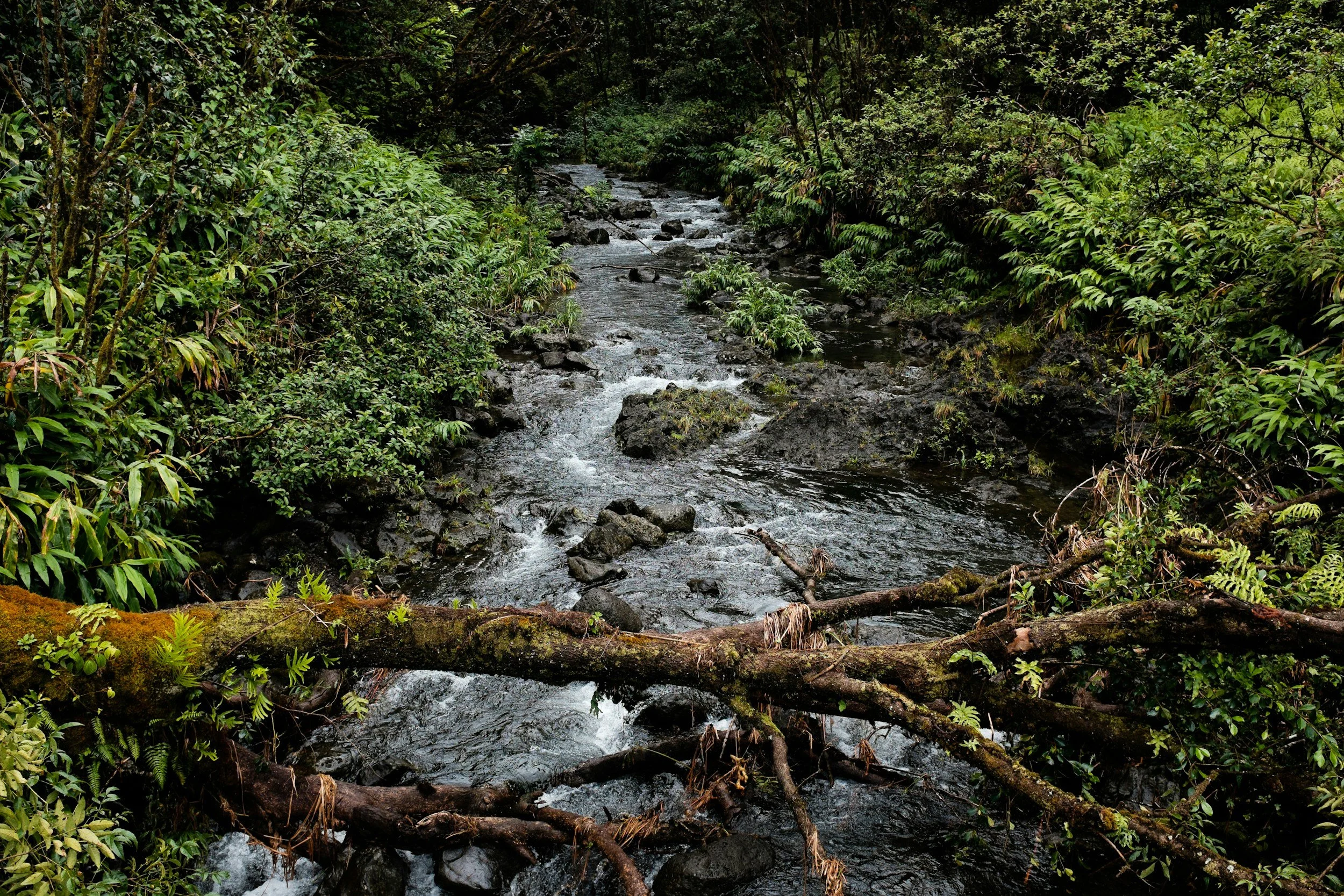
In more recent geological history, the UK was profoundly shaped by the Ice Ages, particularly the most recent glaciation, which ended around 12,000 years ago. During this period, much of northern Britain was covered by massive ice sheets, which carved out valleys, deposited vast amounts of sediment, and created the characteristic U-shaped valleys seen in places like the Lake District and Scotland.
As the glaciers retreated, they left behind a landscape of moraines, drumlins, and glacial lakes, such as Loch Lomond in Scotland. In southern Britain, the glaciers did not reach as far, but the periglacial conditions still had an impact, causing soil movement and the formation of features like dry valleys in the chalk landscapes of southern England.
The River Trent Watershed: A Geological Perspective
One of the most important rivers in central England, the River Trent provides a striking example of how geology influences modern landscapes. The Trent is the third-longest river in the UK, and its watershed covers a large part of the Midlands, stretching from its source in Staffordshire to its confluence with the River Ouse, forming the Humber Estuary, which flows into the North Sea.
The River Trent flows through a geologically diverse region, which plays a significant role in shaping the river’s characteristics and the ecosystems it supports. The river’s source lies in the Bunter Sandstone of Staffordshire, a porous rock that allows for significant groundwater storage, feeding the river during dry periods. As the Trent flows southeast, it traverses a series of geological formations, including Triassic mudstones, sandstones, and Permian limestones, all of which contribute to the physical and chemical properties of the river.
One of the most geologically significant features of the Trent watershed is the presence of thick deposits of glacial till, left behind by the retreating ice sheets at the end of the last Ice Age. This till, composed of clay, sand, and gravel, shapes the river’s floodplain, creating fertile soils that support agriculture. The flat, low-lying areas of the Trent Valley, particularly in Nottinghamshire and Lincolnshire, are known for their rich arable farming, a direct result of the geological processes that have enriched the soils over millennia.
The underlying geology also affects the river’s behavior. In areas where the bedrock is more permeable, such as the Bunter Sandstone, water is absorbed into the ground, reducing surface runoff and helping to regulate the river’s flow. In contrast, regions with less permeable clay soils, like those found in the east of the watershed, are more prone to flooding, as rainwater is unable to infiltrate the ground as easily.
The chemistry of the bedrock also influences the water quality of the Trent. In areas where limestone dominates, the river water tends to be more alkaline, supporting a different range of aquatic life compared to areas where more acidic rocks, such as sandstones and mudstones, are prevalent. The diversity of bedrock types along the Trent’s course creates a mosaic of habitats, each with its unique ecological characteristics.
The Role of Geology in Shaping Modern Landscapes
The geological history of the UK continues to influence its modern landscapes in profound ways. From the rugged mountains of Scotland, shaped by ancient tectonic collisions, to the fertile plains of the Midlands, enriched by glacial deposits, geology is the foundation upon which ecosystems, agriculture, and human settlements are built. Rivers like the Trent are a reminder of how dynamic geological processes—such as erosion, sedimentation, and tectonic shifts—continue to shape the land, providing resources and challenges for those who live in these regions.
By understanding the geological history of the UK, we gain a deeper appreciation for the complexity and beauty of its landscapes. This knowledge not only enriches our connection to place but also informs how we manage the land in a way that is sustainable and respectful of its deep, dynamic history.
Conclusion
The geological history of the United Kingdom is a story of vast timescales and dramatic natural forces. From the collision of ancient continents to the retreat of massive ice sheets, the land has been shaped and reshaped over billions of years. Today, this geological heritage is still visible in the UK’s diverse landscapes, from the mountains of Scotland to the rolling hills of southern England.
The River Trent watershed, in particular, demonstrates how geology influences modern landscapes, from the composition of soils to the flow of rivers and the habitats they support. By understanding the geological processes that have shaped the UK, we can better appreciate the land’s complexity and work toward a more sustainable future that honors its deep past.